Preamble: Misadventures are more memorable. 🙂
In my drive from northeastern to northwestern Wisconsin, I happened to pass through north central Wisco, which is Home to the highest natural point in the state: Timms Hill, a whopping 1951.2 feet! (Before my less midwesterly friends scoff, remember where your corn and potatoes come from! …So there.)
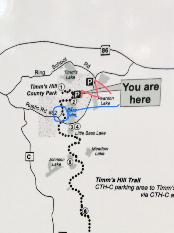
I took a little pit stop. “Up North” is not home to exceptional cell service, so my helpful cellular GPS lost helpfulness as I reached the foot of the veritable mountain. This was also the moment I encountered signs warning me of a bicycle race on Saturday afternoon. Since it was already Saturday afternoon, the warning was not sufficient for me to bring my bike along, but I joined the race anyway, willing my 4-wheeled CVT transmission bike to blend in (aka I missed a turn and the only road left was the bike race course). I apologized through my windows to each bicycle I swerved around, as I meandered my way through the thick forest. I was unsure of my exact plotting coordinates (I was lost), but cruises slowly on, eventually coming to a one-lane road, still utilized by bicycles. And myself. A
bout 1 mile later, I came across a bike that looked a lot like mine (it, too, was a car), pulled to the side of the narrow road, its occupants ogling the kiosk map. We asked each other how to get to the top, shrugged, and were confused by the map’s indication that we were, in fact, at a parking lot.
I decided to “park” more discreetly (aka park in the ditch), and in the process of doing so, drove into a hole, feeling my viscera drop to the floor as my car’s passenger side made a noise akin to spoons in a blender.
After giving my car a black eye, I decided that I’d just go for a hike and if I didn’t find the summit (if you can call it that), I should just cut my losses and call it a day. I tromped off into the woods, knowing the tower, according to the map, should be less than 0.5 mile from the “parking” area, and this making note to turn back if I hadn’t reached the top by the year 2097. Or within 15 minutes. 5 minutes later, I reached a road. This did not agree with the map. I turned back, reuniting with the original ditch-parking group. We set off together in search of the elusive trail, following trailblazes down the road we’d elected to park beside.
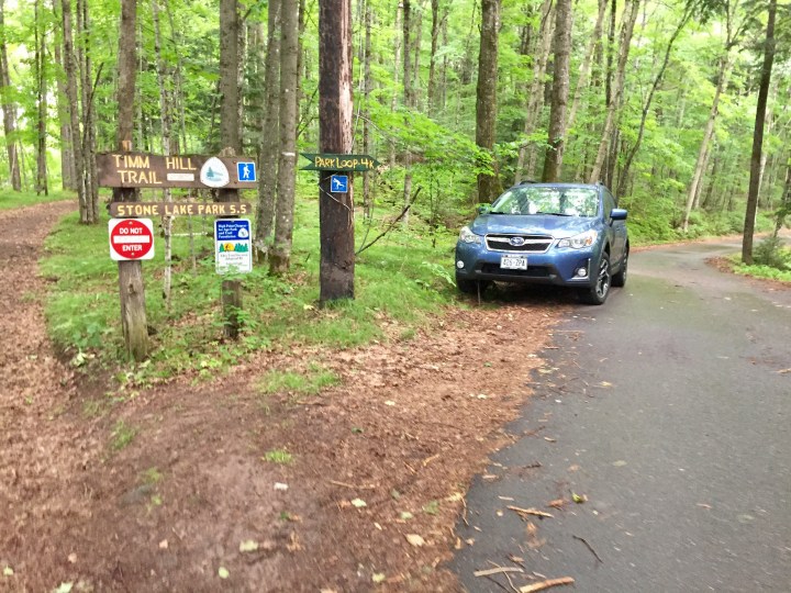
About 0.5 mile walk (and another lost hiker from Oklahoma) later, we came to a large, paved area with curbs around it. There were a couple cars parked there who had clearly not read the map correctly, not recognizing this as an undesignated parking spot on the map – good thing our party members had followed the rules, and parked back where the map indicated.
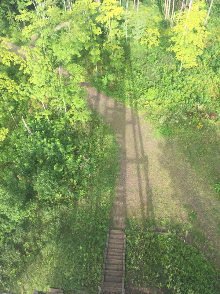
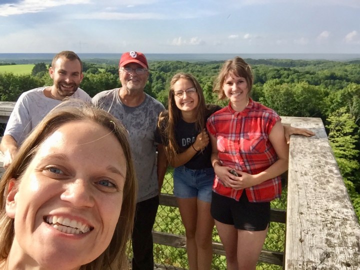
Our group had grown to five humans plus a dog, and we now felt confident we were headed in the right direction (the sign reading, “OBSERVATION TOWER ➡️” helped). Then it started raining, so we abbreviated our survey of the great Badger State from atop the tower with exultations and grins of a goal achieved.

Dear Timms Hill: Accurate signage is great. Thanks.
