The day dawned sunny and bright, and we crunched our granola and fresh strawberries with joy. The goal was to be on the road to the trailhead by 8:00 am. We left by 8:40 😉, nearly ran out of gas, and Google Maps tried to drive us off a cliff, but an angel threw a rock at the van to inform us we should turn around. We finally reached the trailhead 2 hours later than anticipated; Jess had received her full dose of go-with-the-flow, and we’d hiked 0 miles…
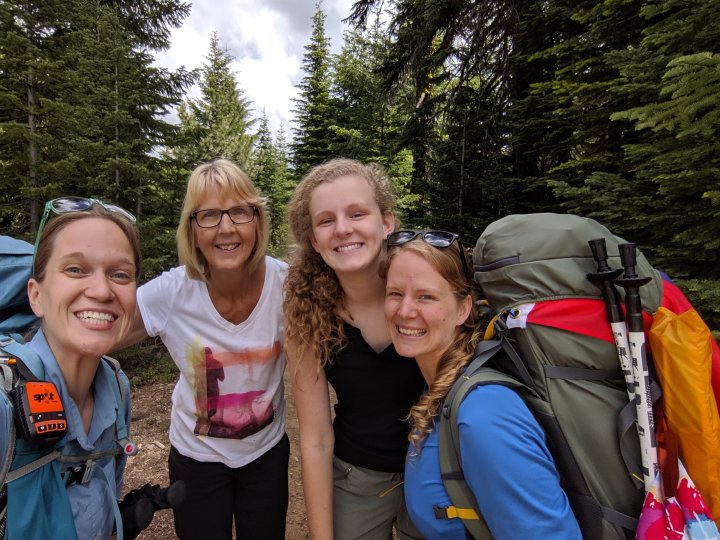
Things got much better from there. We stepped out to gorgeous 65 degrees and sunshine, and trekked 0.3 miles pack-free to the CA-OR border to sign the hiker register and officially start our trek across the Beaver State! This 0.3 miles was the most treacherous of the two days, as the trail wound through beautiful flowering bee-bushes (an accurate, though unofficial identification). I held my breath through each section of bee-bushes, turning sideways to avoid startling them – this tactic was largely successful. Whew. I feel like a pioneer woman of the wild west!
We’ve now completed 0.6 miles of grueling hiking; Jessica considers a snack. We turn to the NOBO (northbound) trail that meanders into the forest, shoulder our packs, and simply begin walking. I suppose that is how all great adventures start: with a step.
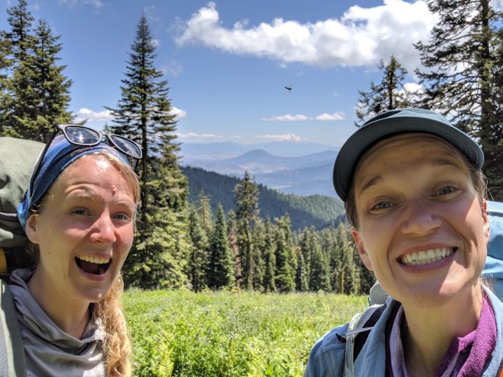
We climbed to 7200 feet for a picnic atop Observation Peak in the style of the Sound of Music, with sunshine and happy breezes (the best kind, of course). We opted to hike along the ridge rather than climb back down to the trail, which was obscured by a snowfield (!!!. July at high altitudes); we navigated to the eastern slope where the snow had had chance to melt before we dropped back down to the trail.
After 11 miles, we made camp for the night in a windy stand of firs. Jess learned she is not exceptionally proficient at hanging a food bag from a tree (she’d like to place some blame on the alpine trees with stubby, droopy branches). While experts recommend a food bag hang ≥12 feet from the ground and ≥8 feet from the trunk, none of these tall, skinny trees had branches greater than 6 feet in length, let alone a lone branch more than 6 feet off the ground. We selected a young tree that had clearly survived a rough winter, bent over in such a way that the top of the tree was about 10 feet from the ground. By the time we added 8 pounds of food, we could reach our bags easily while standing. 🤷 At least the ground squirrels wouldn’t get at it.
We woke to chilly noses and fingers, which makes for difficult use of a mini Bic lighter (nose not included). I was still fighting a lingering cold/sinus infection, so energy was waning. Thankfully, we found our first “trail magic” 4 miles into day 2: a stash of coolers labeled “For PCT long distance hikers” with Shasta soda inside. Liquid joy, with a view of Mt Shasta to boot!
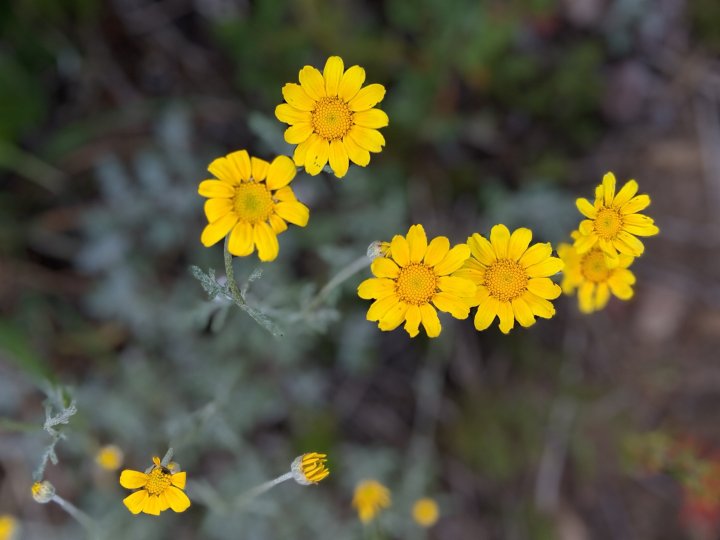
The rest of our 16 mile day included plenty of sunshine, both celestial and floral (Oregon sunshine is the apropos moniker for the ubiquitous yellow sunflower covering southern Oregon slopes). I got my nerd on with a wildflower ID app, stopping to smell the roses and gape at the sweet peas, intrigued by the gradual change in foliage as we dropped from 7000 to 4000 feet. That drop was pretty rough on hiker’s knees, so we opted to take a full rest day in Medford with Bethani’s family prior to hitting the trail again on the 4th, to the fanfare of Sousa’s Stars and Stripes Forever.
Two days down, a few to go! 🙂
